
Underground HoldingS.A.C. · Perú

Services

We provide field engineering services with the same precision we put into our software. Tell us about your project and we will send you a quote.

📐

Topographic surveys

Reliable field data to design, value and control your project.

  • Total station and GNSS (RTK) surveys
  • Drone photogrammetry: orthophotos, digital terrain models and contour lines
  • Topographic plans, longitudinal profiles and cross sections
  • Earthwork and stockpile volume calculations
  • Setting out and survey control on site
  • Deliverables in AutoCAD/Civil 3D, KMZ, GeoTIFF and Excel
🛰️

Equipment rental

Checked equipment ready to work, by the day, week or month.

  • Total stations
  • GNSS / differential GPS receivers
  • Automatic levels and accessories (tripods, prisms, staffs)
  • Photogrammetry drones
  • With an operator or equipment only
  • Ask about models and availability
🎓

Training

Practical training for professionals and site teams.

  • Drone photogrammetry: flight planning, processing and deliverables
  • Surveying applied to road works
  • Using Project Cam for site photo evidence
  • Online, in person or at your company (in-house)
  • Certificate of participation

Completed projects

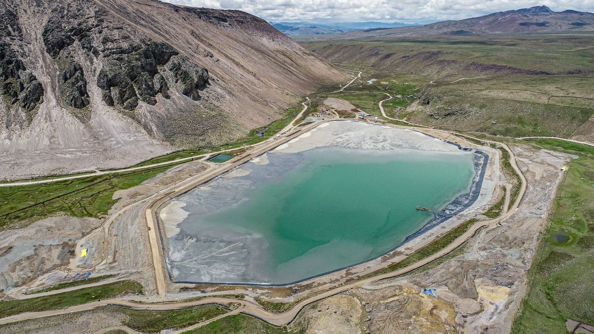
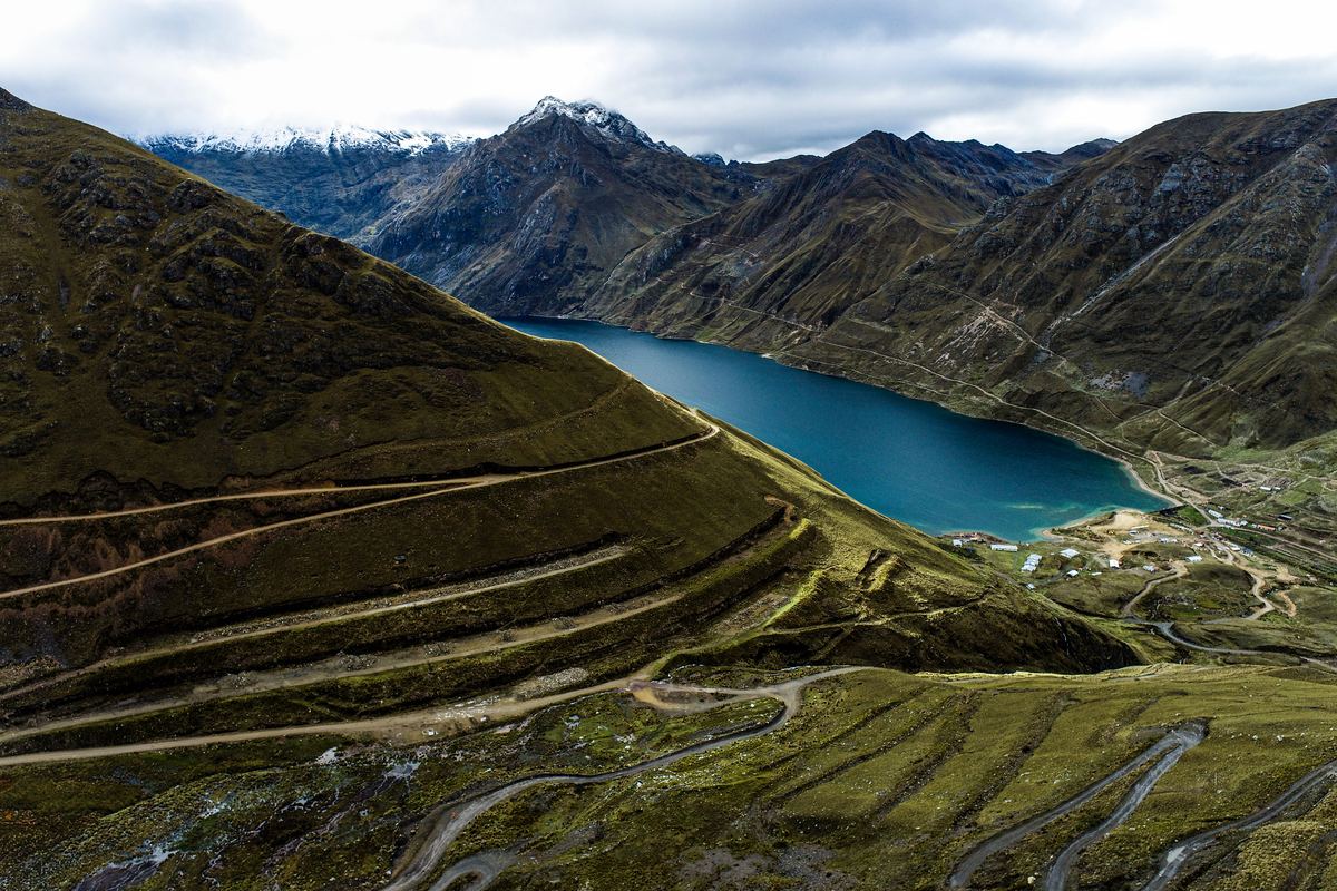
Topographic survey of a high-Andean lake
Topographic survey of a high-Andean lake📍 Áncash · 2023

Survey of the lake, its dam and surroundings for risk and water management studies.

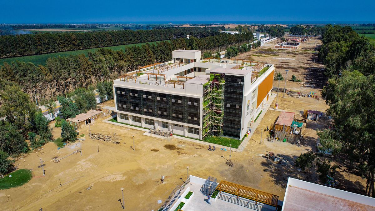
Building construction inspection
Building construction inspection📍 Lima · 2023

Aerial drone record documenting the progress of a four-storey institutional building.

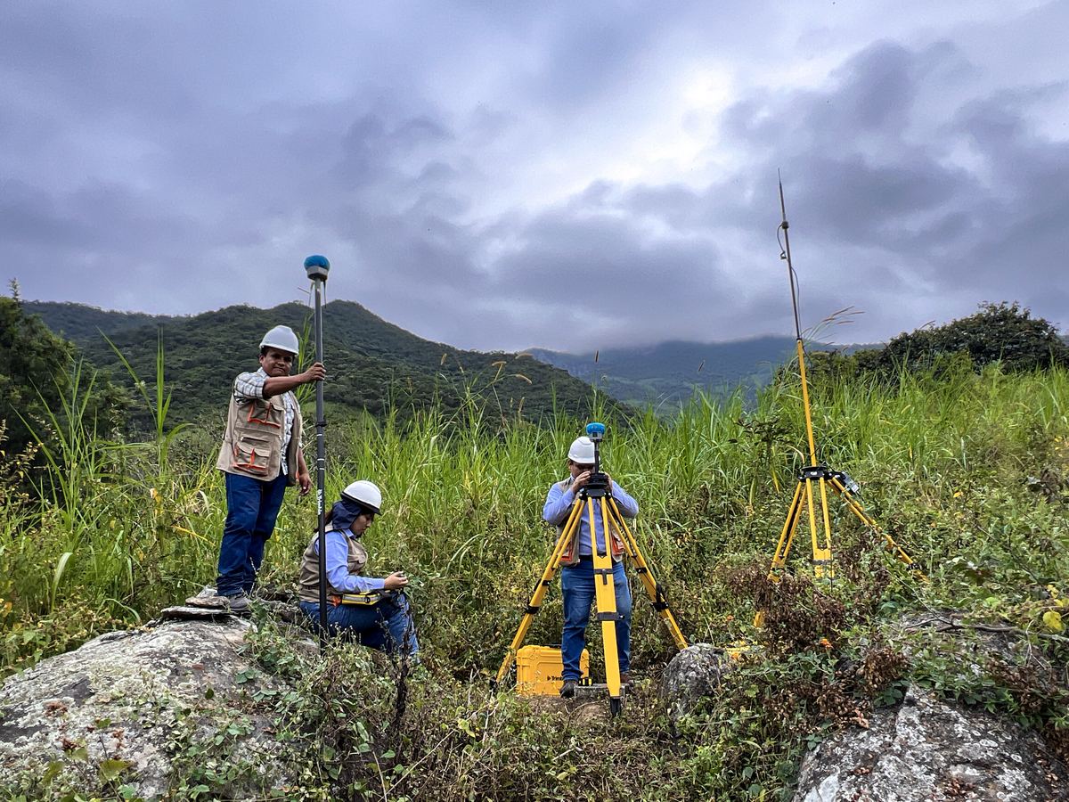
GNSS surveying on site
GNSS surveying on site📍 Piura · 2024

Our team setting control points with GNSS receivers on rough terrain.

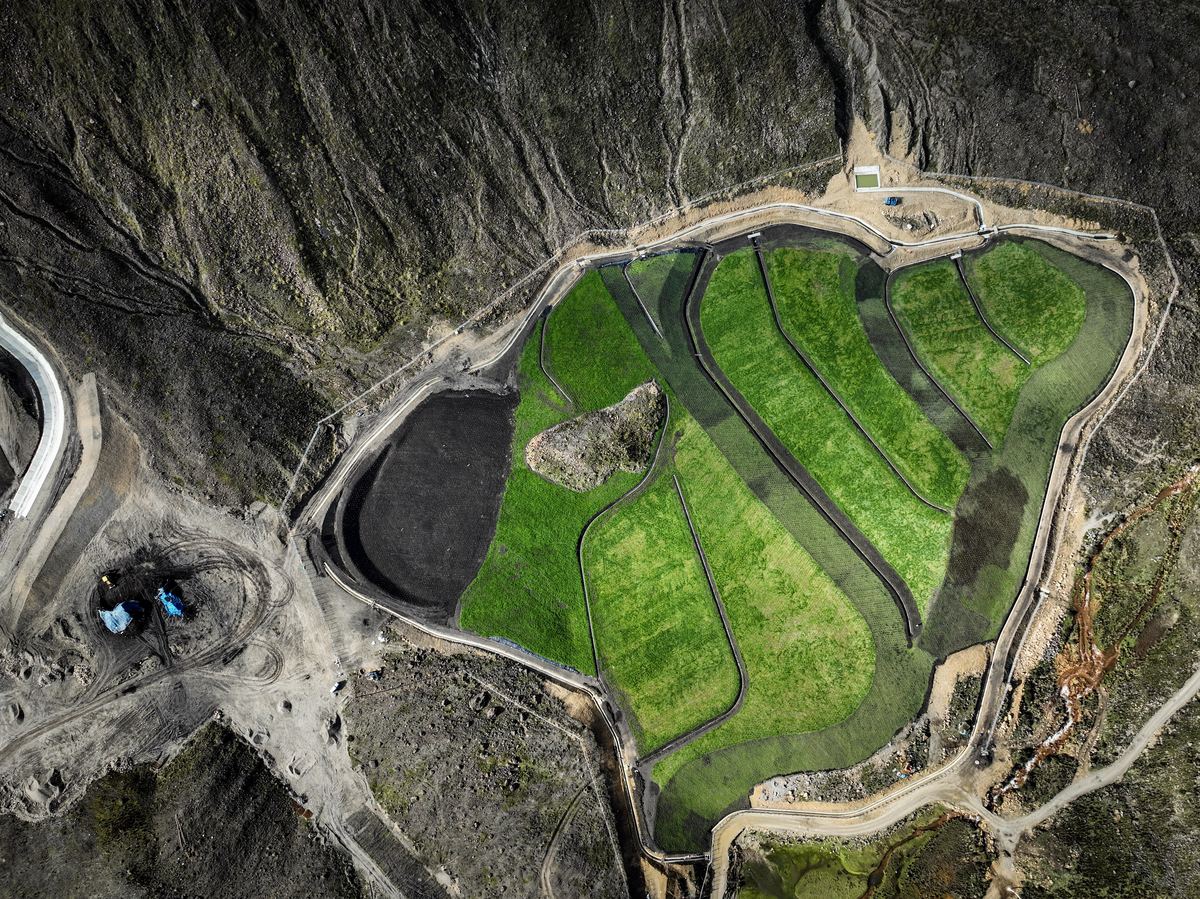
Environmental remediation of mining liabilities
Environmental remediation of mining liabilities📍 Áncash

Monitoring of remediated areas with revegetation and drainage channels in the high Andes.

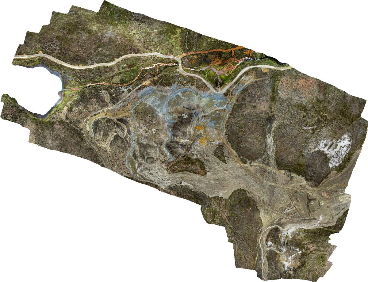
Orthophoto of a remediation area
Orthophoto of a remediation area📍 Áncash · 2023

Georeferenced orthophoto from drone photogrammetry, the basis for plans and area control.

Urban photogrammetric survey
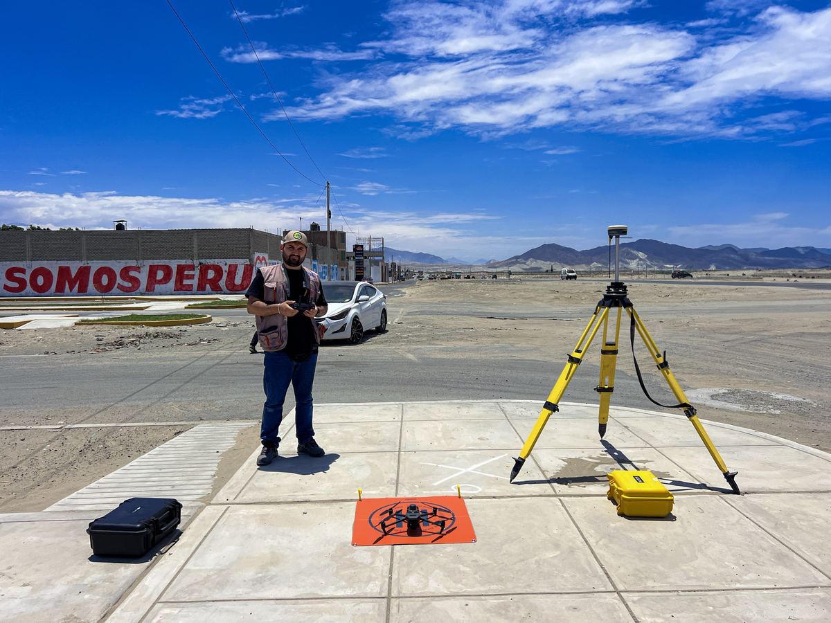
Urban photogrammetric survey📍 Áncash · 2025

Drone flight supported by a GNSS base to survey an urban development project.

Technical visit to a hydraulic project
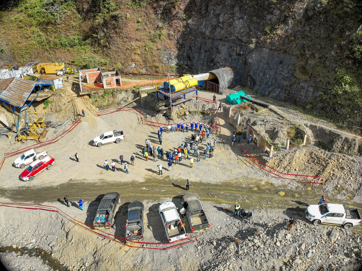
Technical visit to a hydraulic project📍 Piura · 2025

Professional visit to a work front of an irrigation project with a transfer tunnel.

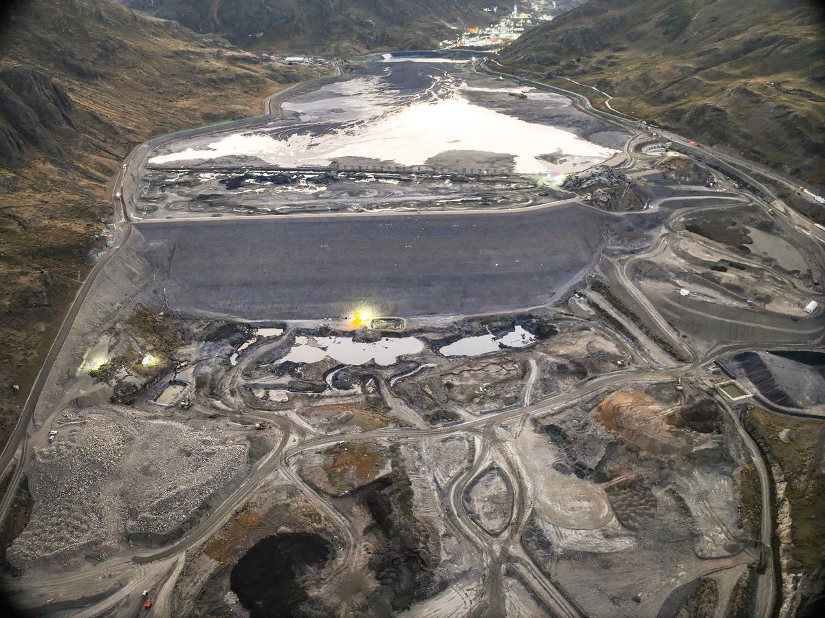
Mining tailings facility inspection
Mining tailings facility inspection📍 Perú · 2026

Aerial record of a tailings facility during an inspection visit to a mining unit.

Aerial record of a tailings storage facility
Aerial record of a tailings storage facility📍 Arequipa

Drone aerial view of a geomembrane-lined tailings facility at a high-Andean mining unit.

Have a project?

Send us the location, approximate area or length and timeline, and we will reply with a proposal.